|
Quantity
|
Out of stock
|
||
|
|
|||
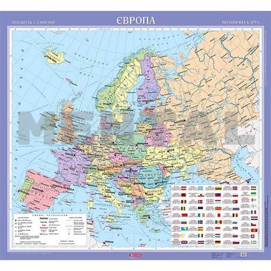
The political map of Europe on the slats MENTAL
The 108x118 cm political map of Europe on the slats an important tool for studying the political landscape of the continent, containing country borders, capitals, important cities and geographical features. Made of durable materials, it has a bright print that ensures the colour is sharp and durable. An essential resource for schools, offices, libraries and anyone interested in European geography and politics.
Specification - Political map of Europe 108x118 on strips
Scale: 1: 5000000
Size: 108x118 cm
Material: laminated cardboard, density 200 g/m2
Lamination gives the map more brightness and makes it more durable and presentable
Language: Ukrainian
Map type: political
Fastening: on strips
Published: 2023
Delivered in a cardboard tube


